Industrial drone inspection in Morocco
Inspect roofs, structures, solar plants and wind turbines without work at height. Photo and video report within 48 hours.

A faster, safer and more cost-effective inspection
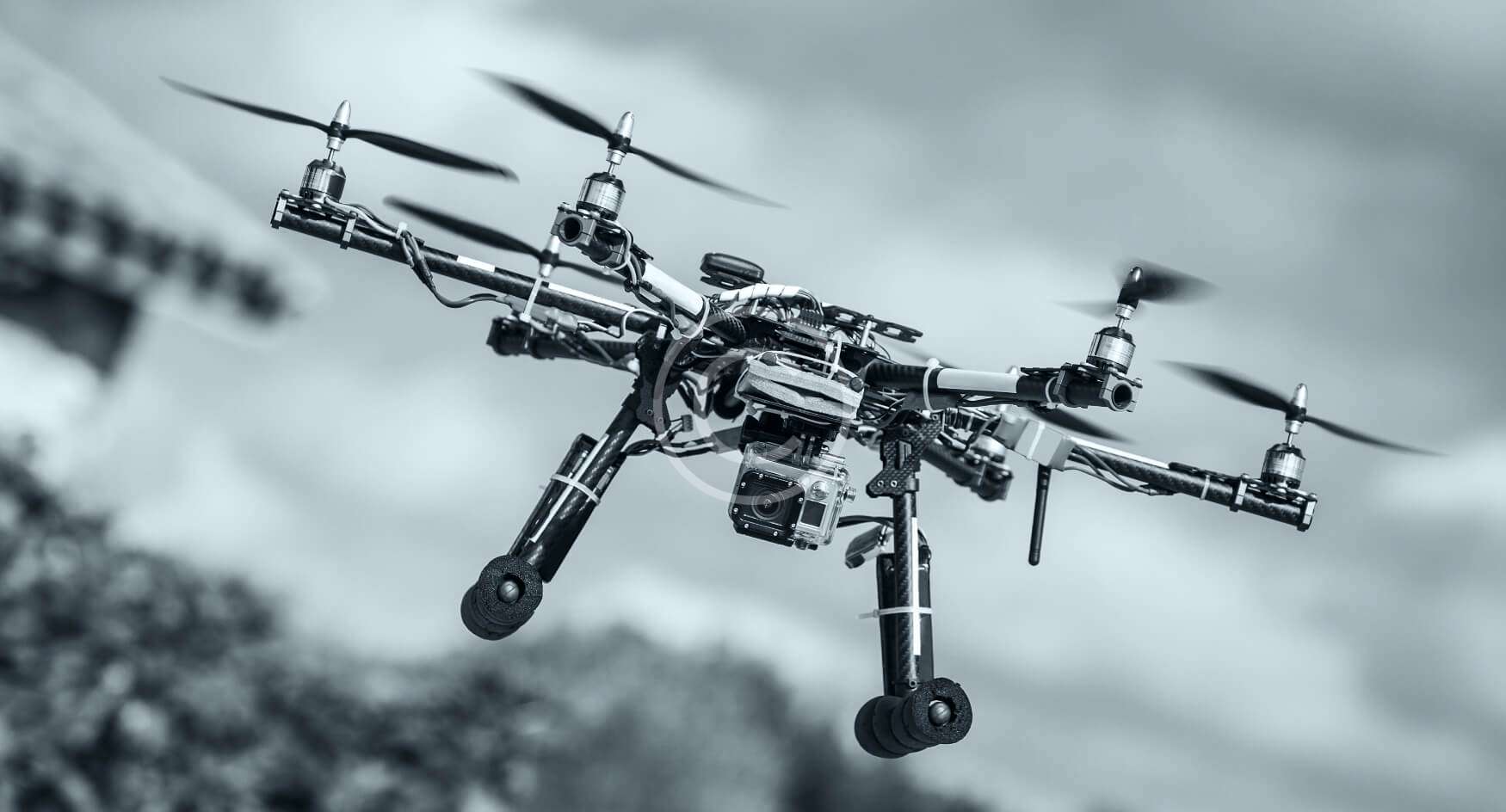

Why inspect your assets by drone?
A traditional visual inspection requires aerial platforms, rope access technicians or scaffolding, and often a partial shutdown. A drone collects the same data in a few hours, without exposing your staff to work at height. Our certified pilots prepare the flight plan, handle the required authorisations and deliver images your engineers, maintenance teams and insurers can use.
Solar plant inspection. On a photovoltaic plant, a thermal camera detects overheating cells, faulty bypass diodes, disconnected strings and soiled modules in a single flight. Each anomaly is geolocated and ranked by severity so that maintenance goes straight to the right panel.
Wind turbines and pylons. Blades, nacelles, telecom towers and power lines are inspected with a zoom camera, with no rope access and minimal downtime. High-resolution images reveal impacts, cracks, corrosion and loose fixings.
Industrial and port sites. Chimneys, tanks, conveyors and warehouse roofs: we work at industrial sites in Jorf Lasfar, Safi, Casablanca and Tangier Med, in coordination with your HSE managers and site access procedures. Thermal inspection starts from 4,000 MAD. For precise 3D records of structures, see aerial survey and LiDAR, or return to all our drone services.
Industry and energy
Chimneys, tanks, pylons, lines, wind turbines and solar plants.
Certified pilots
Flight plans, authorisations and site safety rules handled by our team.
Actionable reports
Geolocated anomalies, severity ranking and high-resolution images.
Drone inspection
your questions
Safety, sensors, deliverables and prices for a drone inspection in Morocco.
Do you need to shut down the installation?
Which defects can a thermal camera detect on solar panels?
What does the inspection report contain?
Do drone flights over industrial sites need a permit?
How much does a drone inspection cost?
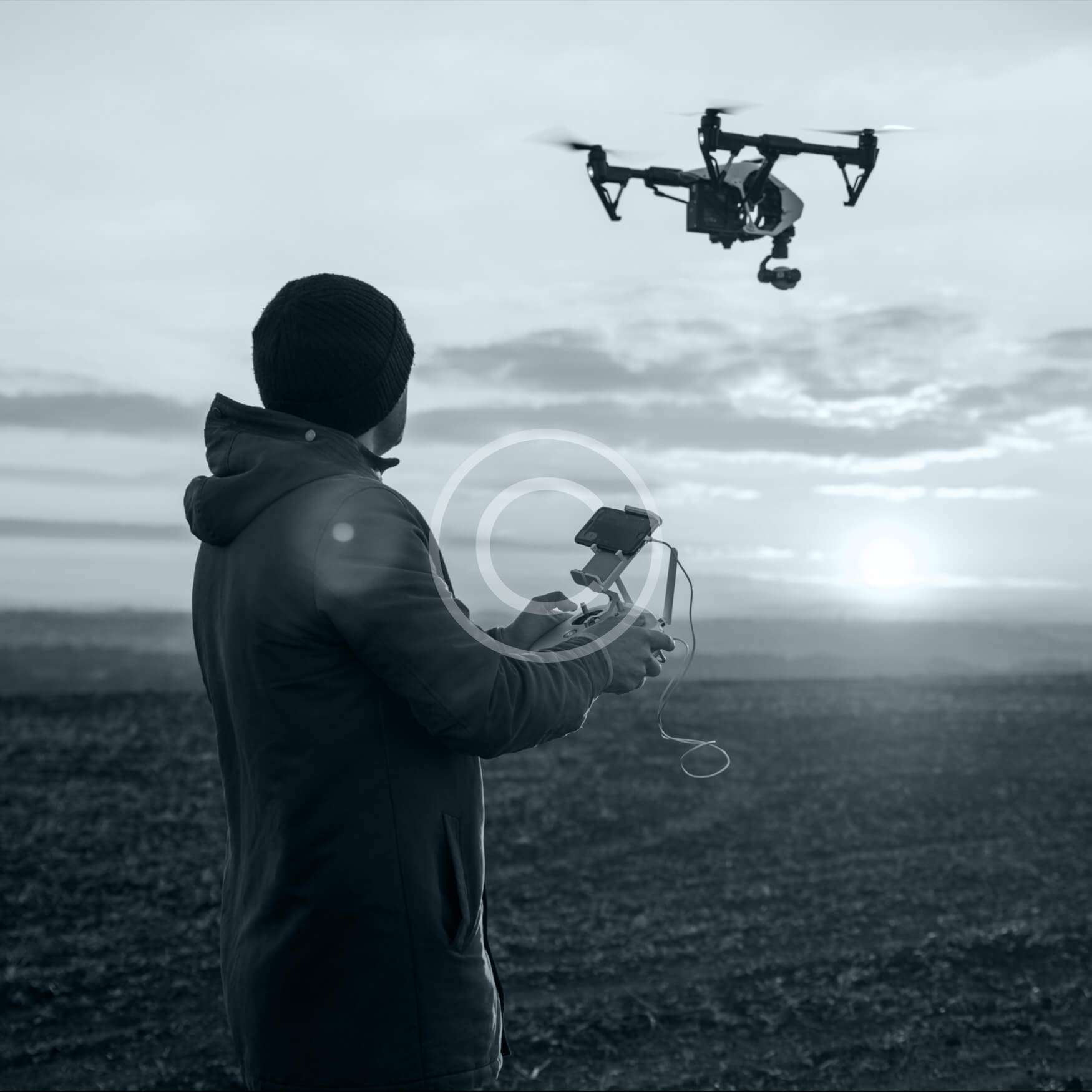
Accurate data for maintenance decisions
Need measurements rather than images? Our aerial surveys deliver orthophotos, 3D models and LiDAR point clouds.