Aerial survey, photogrammetry and LiDAR in Morocco
Orthophotos, 3D models and dense point clouds for topography, construction, mining and infrastructure projects.

The right mapping technique for each site
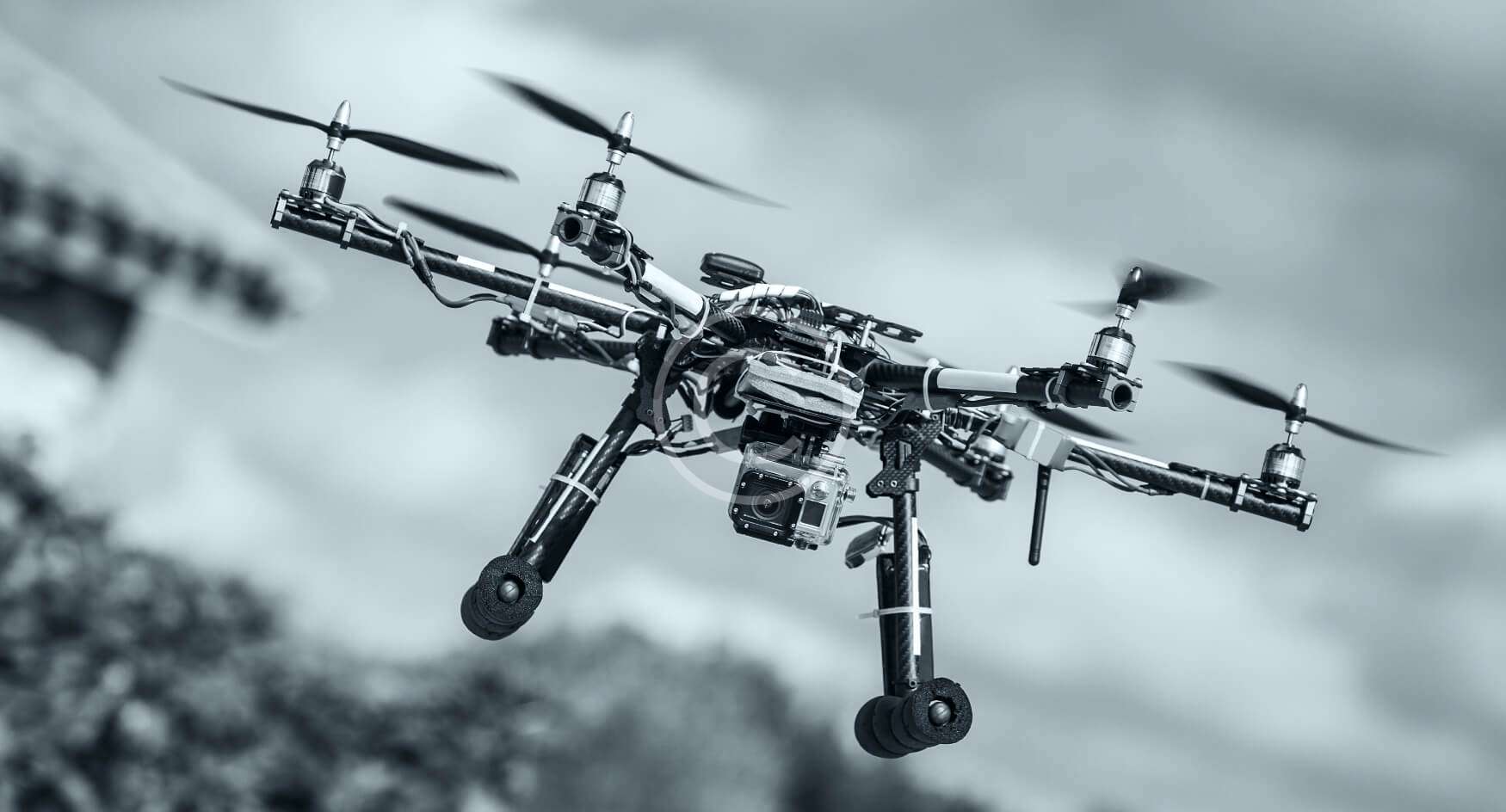

Photogrammetry or LiDAR?
Photogrammetry rebuilds the terrain from hundreds of overlapping photos. It is ideal on open ground and also delivers a true-colour orthophoto: a precise, georeferenced map of your site. We use it for topographic plans, construction progress, stockpile volumes, agricultural plots and urban projects.
LiDAR measures distances with laser pulses, regardless of ground texture. Part of the pulses pass through foliage and reach the ground, which makes it reliable in wooded areas, along linear corridors and on thin structures such as power line cables.
Our certified pilots plan the mission, handle the flight authorisation (DAI, one week to 10 days) and process the data, so you receive files ready for your surveying, CAD or GIS software. Photogrammetry starts from 4,500 MAD. We work around Casablanca, Marrakech, Agadir and across Morocco. To check the condition of assets rather than measure them, see industrial drone inspection; for everything else, our drone services in Morocco.
Topography
Digital terrain models, contour lines and profiles.
Construction
Progress tracking, earthworks and volume calculations.
Mining and environment
Volumes, quarry faces and site monitoring over time.
Aerial survey
your questions
What to know before ordering a drone survey or LiDAR scan in Morocco.
Which deliverables do you provide?
Does LiDAR work under trees?
Should I choose photogrammetry or LiDAR?
How large an area can you survey?
How do I get a quote for a survey?
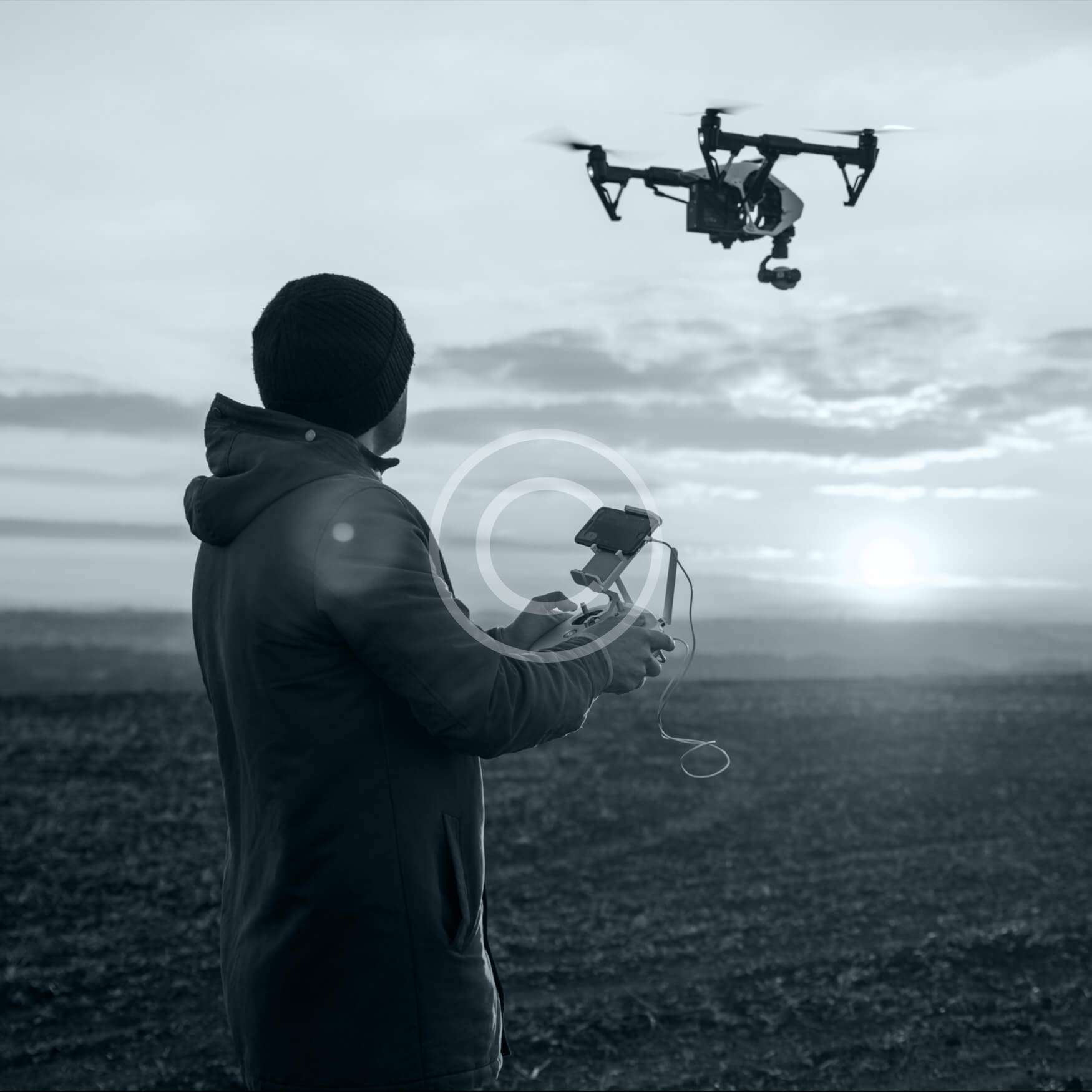
Data ready for your engineers and surveyors
Looking for defects on roofs, solar plants or wind turbines? Our inspection service delivers a geolocated report within 48 hours.